Your Trusted Partner in Digital Land Surveying
Precision • Planning • Performance
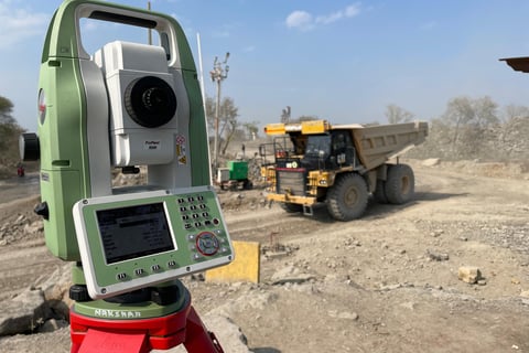
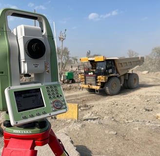
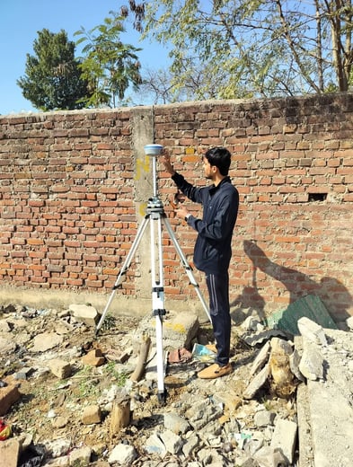
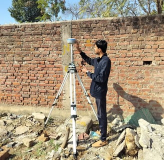
At Nakshaa.in, we offer comprehensive and technology-driven land surveying solutions to support infrastructure development, urban planning, and construction. Using advanced instruments like Total Stations, GPS, Drones, and 3D Scanning, our surveying team ensures data accuracy, efficiency, and actionable insights for your project needs.
🗺️ Our Digital Surveying Services Include:
📍 Topographic Survey
Detailed elevation and terrain mapping for architectural, planning, and design purposes.
📏 Boundary Survey
Identification of legal land boundaries with demarcation for land ownership and fencing.
🧱 As-Built Survey
Post-construction surveys to verify and document exact site conditions vs. design.
🧭 Setting-Out Survey
On-ground marking and positioning of construction elements based on layout drawings.
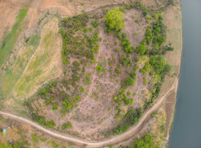
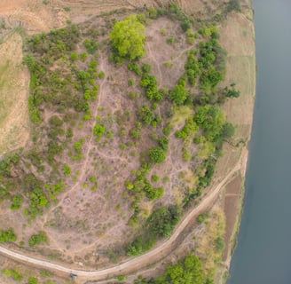
🚁 Drone Mapping & Aerial Surveying
High-resolution aerial imagery, contouring, and 3D models for large-scale projects.
🛰️ Control Network Establishment
Creating geodetic control points for reference across large infrastructure or multi-phase projects.
🏙️ Master Planning Support Survey
Base map generation and site analysis for urban development and township planning.
📐 Subdivision & Layout Design Survey
Planning of residential/commercial layouts with road networks, plot divisions, and amenities.
📝 Document Verification Survey
Cross-verification of government/ownership records with actual site conditions.
🛤️ Alignment Planning & Route Surveys
Linear corridor surveys for roads, railways, pipelines, and transmission lines.
🚧 Earth Work Volume Calculation
Cut-fill analysis and quantity estimation for excavation and site leveling.
📉 Leveling Surveys
Precise elevation data for drainage planning, slope analysis, and infrastructure grading.
🔍 Drone-Based Inspection Services
Quick, remote access inspections of inaccessible or hazardous locations (bridges, towers, roofs).
🌐 360° Virtual Mapping & 3D Modelling
Immersive digital twin creation using LiDAR or photogrammetry for visualization and project monitoring.
🧪 Geotechnical Investigation Support
Integration with soil testing and subsurface data for combined analysis in planning and design.
✅ Why Choose Nakshaa.in for Surveying?
Latest technology (Drones, GPS, Total Station, LiDAR)
Experienced field team & licensed surveyors
Quick turnaround & accurate deliverables
Integration-ready data for architects, engineers, and planners
Services Pan India
we proudly deliver our expert engineering consultancy, testing, surveying, and drafting services across every state and major city in India. Whether it's a metro city, industrial zone, or remote project location — our reach is nationwide.
Mail - theconstructionmantra@gmail.com
Call us - 9450615606, 8120010127
© 2025. All rights reserved.
Contact Us -